


-
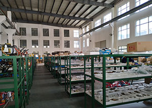
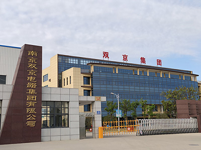
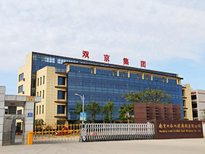
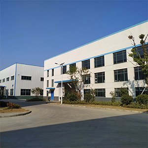
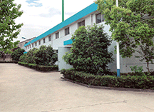
廠區展示
廠區展示
-
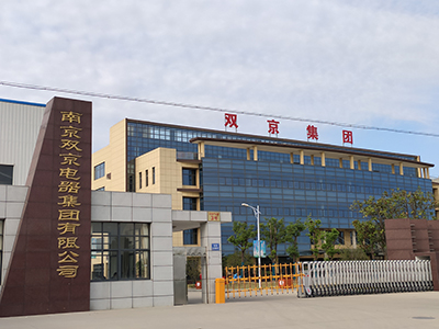
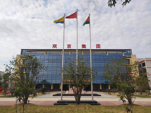
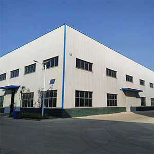
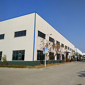
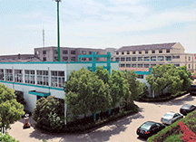
廠區展示
廠區展示
-
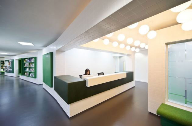
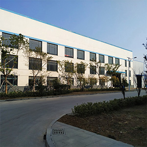
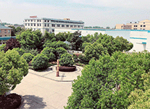
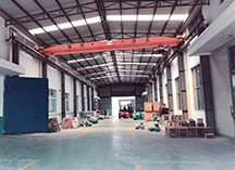
廠區展示
廠區展示
-
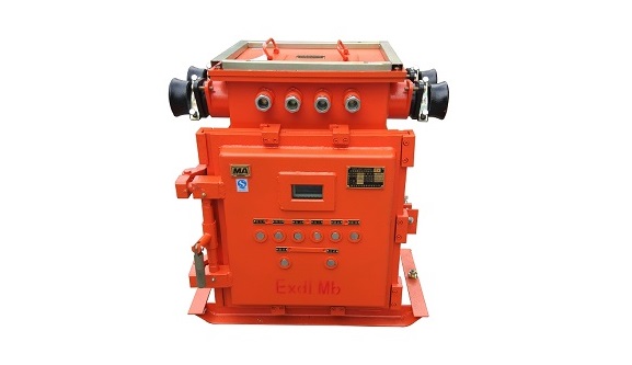
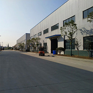
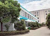
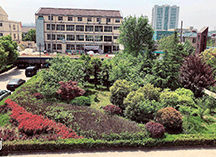
廠區展示
廠區展示
-
廠區展示
廠區展示
-
廠區展示
廠區展示
-
廠區展示
廠區展示
-
廠區展示
廠區展示
-
廠區展示
廠區展示
-
廠區展示
廠區展示

-
廠區展示
廠區展示
-
廠區展示
廠區展示
-
廠區展示
廠區展示
-
廠區展示
廠區展示